
Business Details
48 Years
experience
Emergency
services
Your Trusted Aerial & Ground Photography Partner in Albuquerque
Since 1978, Eagles Eye Photo has been New Mexico's premier aerial and ground photography service. Our team combines 40+ years of professional experience with cutting-edge technology to deliver high-impact visual solutions for real estate, construction, legal, and commercial clients. We specialize in creating current, high-resolution imagery from unique vantage points, utilizing both traditional aircraft and FAA-certified drone operations. Our commitment to confidentiality, rapid turnaround, and in-house production ensures clients receive tailored, cost-effective results.With coverage across New Mexico and Southern Colorado, we provide oblique aerial photography, ground documentation, and custom graphics to help clients make powerful first impressions. Our owner, Lee Morgan, holds Master Certified Aerial Photographer status and brings decades of technical expertise to every project.
Services
Aerial Photography
Ground Photography
UAV Drone Services
Graphics Design
File Stock Photos
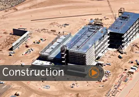
Construction Documentation
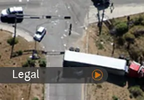
Legal Exhibits
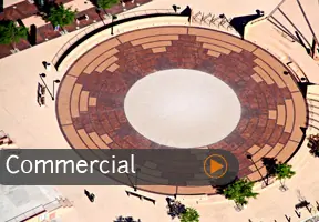
Commercial Property
Balloon Fiesta
Interior Photography
Details
- Year established: 1978
Highlights and features
- 40+ years of aerial photography experience with FAA-certified operations
- In-house production ensures confidentiality and rapid turnaround
- Combines traditional aircraft and drone technology for optimal results
- Specializes in legal and construction documentation with 3D imaging
- Provides frequent photo flights across New Mexico at competitive rates
Associations and certifications
- Professional Aerial Photographers Association International
- Master Certified Aerial Photographer (MCAP)
Services
Aerial Photography
Our aerial photography captures high-resolution images from fixed-wing aircraft and drones. We specialize in oblique angles starting at 1,000 feet to showcase property relationships and locations. Clients receive full-frame digital images with precise composition and color correction for real estate marketing, construction documentation, and legal exhibits.
Ground Photography
Comprehensive ground photography services include HDR imaging, time-lapse documentation, and elevated perspective shots. We specialize in construction progress tracking, interior/exterior documentation, and event coverage. All images undergo professional post-processing to ensure optimal contrast and detail for commercial presentations and legal records.
UAV Drone Services
FAA-certified drone operations provide close-range aerial video and photography under 400 feet. Our Part 107 licensed pilots capture detailed property inspections, marketing content, and supplemental construction documentation. Drone services complement traditional aerial photography by offering unique low-altitude perspectives while maintaining strict regulatory compliance.
Graphics Design
Custom graphics integration transforms raw images into compelling marketing tools. We add property outlines, road labels, company logos, and directional indicators to aerial and ground photos. Our design team creates presentation-ready materials including mounted prints, digital packages, and interactive web content for real estate and commercial clients.
File Stock Photos
Access to extensive historical photo archives covering New Mexico locations since 1978. Our collection includes oblique aerials, construction sequences, and event documentation. Clients can review existing images for immediate use or request new photography flights to capture current conditions. Digital and print formats available with licensing options for commercial applications.
People
Lee Morgan
Owner / Master Certified Aerial Photographer
Lee Morgan founded Eagles Eye Photo in 1978 after earning his pilot's license. With 40+ years of photography and aviation experience, he holds the highest aerial photography certification from the Professional Aerial Photographers Association International. His technical expertise combines traditional aircraft and modern drone technology to deliver precise visual documentation for commercial clients.
Questions
What geographic areas do you cover?
We cover all of New Mexico, Southern Colorado, and El Paso, Texas with frequent photo flights throughout these regions.
When do you use airplanes versus drones?
Airplanes provide superior 1,000+ft perspectives for property relationships, while drones offer legal 400ft video capabilities. We recommend based on project needs and budget.
What's the difference between oblique and vertical photos?
Oblique photos show 3D perspectives at angles, while vertical shots are directly overhead. Oblique is preferred for commercial real estate visualization.
How quickly can you deliver images?
Proofs are available the same day of flight, with final delivery within one week after image selection confirmation.
Can you add property labels to photos?
Yes, we digitally integrate road names, property outlines, landmarks, and client logos into all aerial and ground photography products.
Videos